
Gorges, plateaus and a coast that changes halfway
The Abruzzo landscape is limestone: it is hollowed into caves, cut into narrow gorges, and opens out above into plains that look like another country.
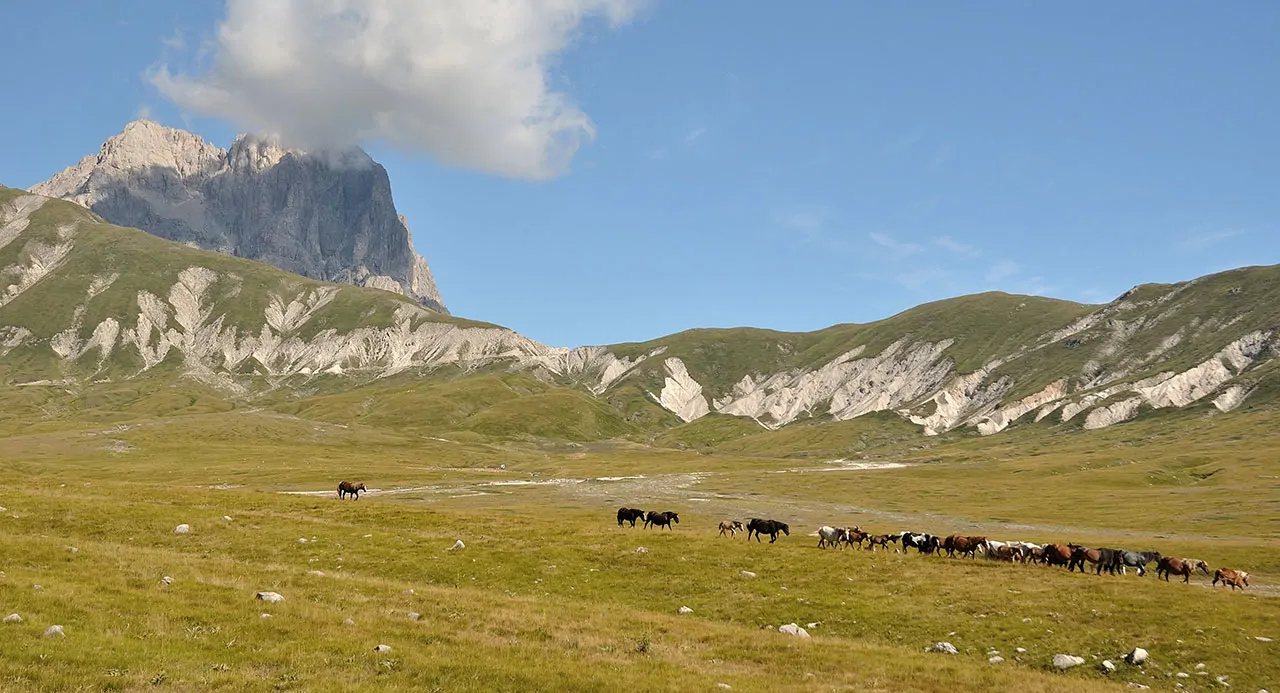
The most recognisable shape of inland Abruzzo is the plateau. Campo Imperatore is the largest: twenty kilometres of grassland at eighteen hundred metres, without a tree, with free-roaming herds and the Corno Grande in front of you. People call it Little Tibet, and for once the nickname is not an exaggeration. You drive up from Fonte Cerreto or from the Castel del Monte side, and in winter the road closes.
The plateaus
The other plains are less known and just as vast: the Altipiani Maggiori around Rivisondoli and Roccaraso, the Piano delle Cinquemiglia, the Voltigno. They are the beds of ancient lakes, which is why they are so flat in the middle of mountains so steep.
The gorges and the caves
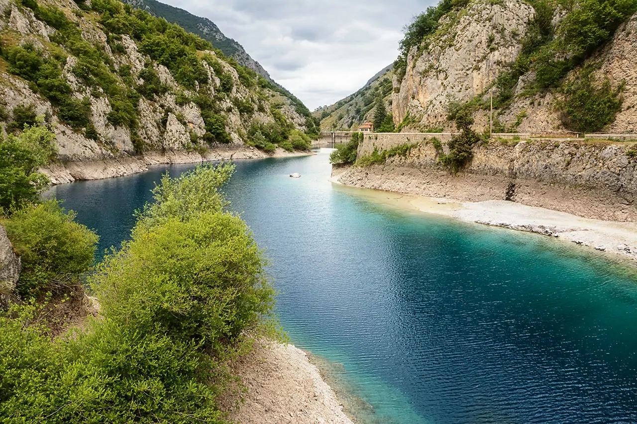
Where water has cut into the limestone, gorges have formed, and Abruzzo has dozens of them. The Sagittario gorges, between Anversa and Scanno, are a WWF reserve and you drive through them on a road cut into the cliff. The Celano gorges are a fissure kilometres long and, in places, three metres wide, walked on foot, in the water. The gorges of Fara San Martino, on the Maiella, open up behind an abbey half buried in gravel.
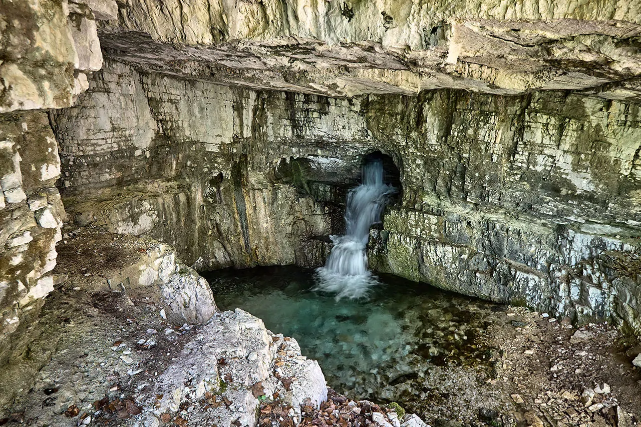
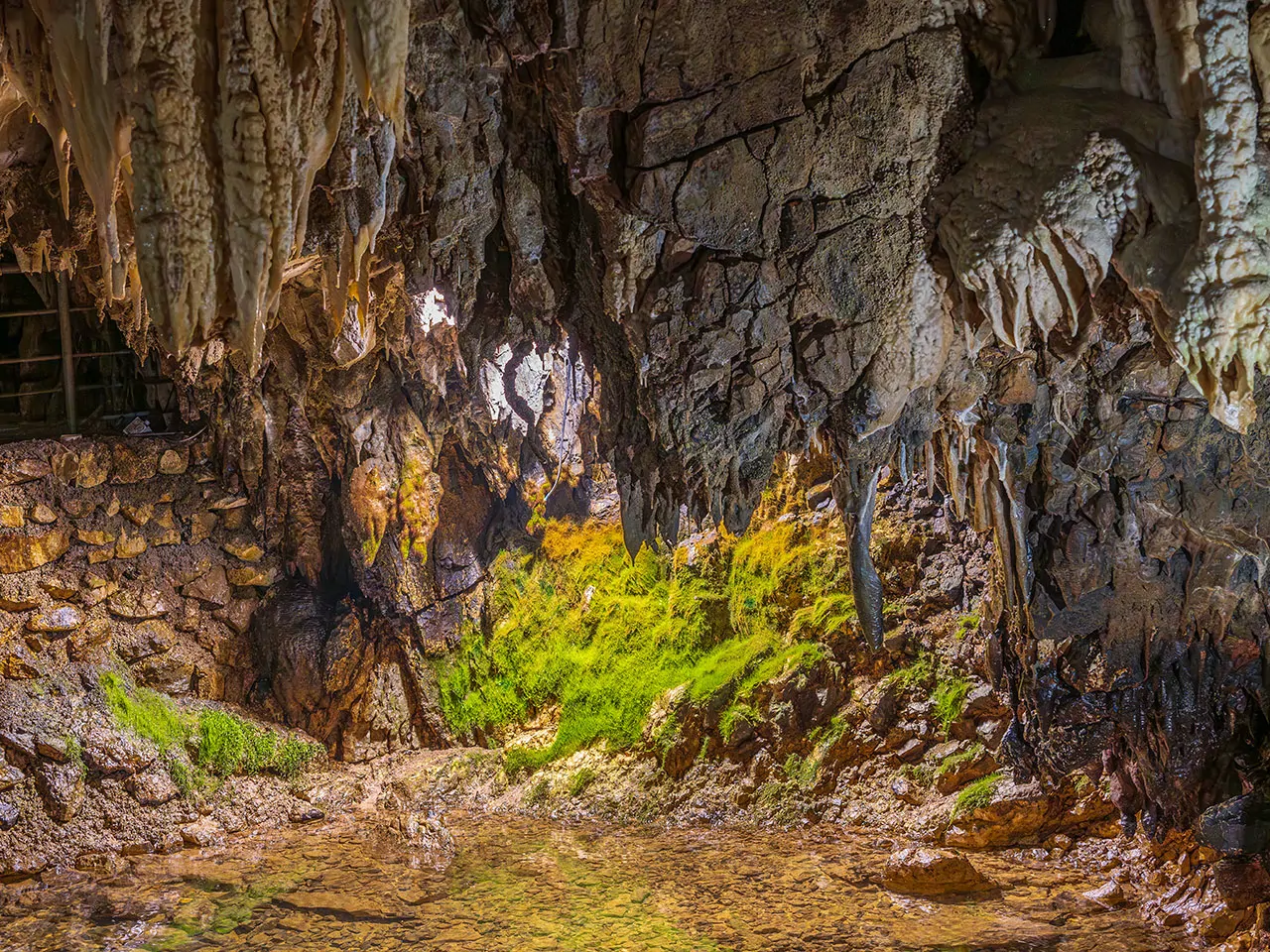
The same rock, underneath, is full of voids. The Stiffe caves are not a fossil system but an active resurgence: a river runs through them, and the noise drowns out voices. They are a good place to be on a rainy day, which up in these mountains happens in August too.
The lakes
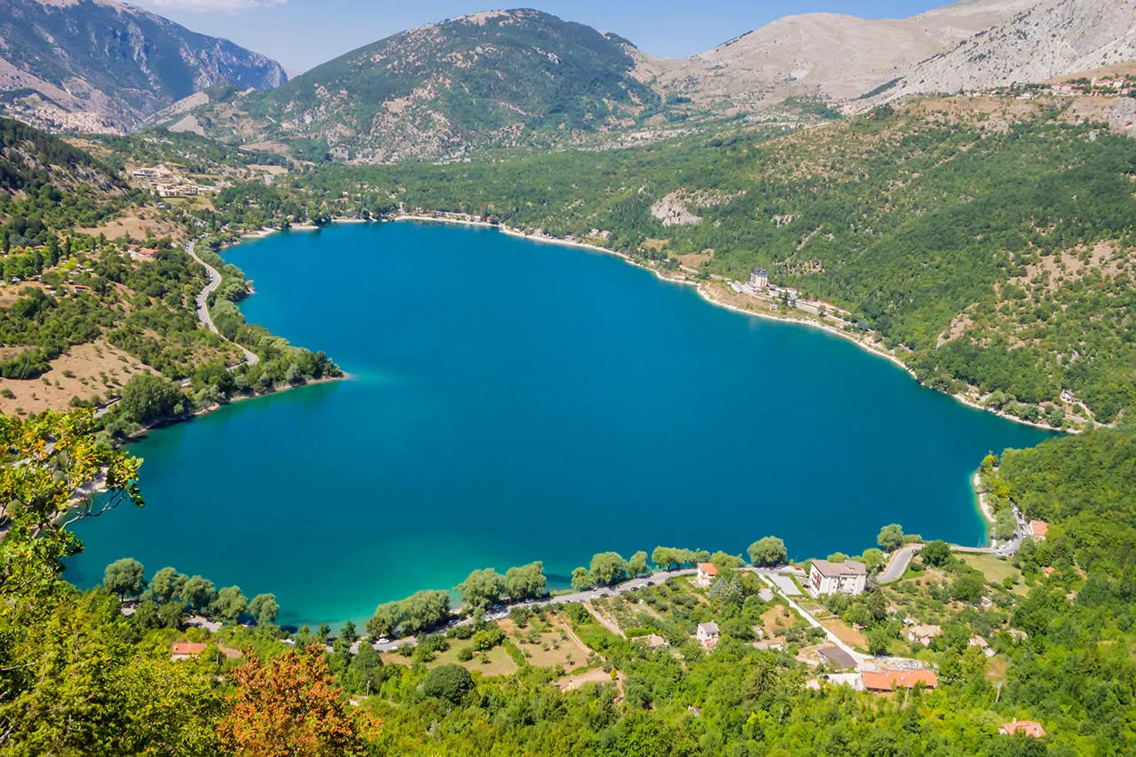
Almost all the lakes are artificial, and nobody notices. Campotosto is the largest and sits at thirteen hundred metres, inside the Gran Sasso park, with its herons. Barrea is shut in by the mountains of the National Park. Scanno is natural, formed by an ancient landslide, and has the heart shape that ends up on every postcard of the region.
The coast, which changes at Ortona
On the coast the change is abrupt and it happens at Ortona. To the north the beach is fine, wide sand, often two hundred metres deep, with pine woods planted in the early twentieth century to hold the sand in place. To the south the low cliffs begin: shingle coves, headlands covered in scrub, and the trabocchi, timber platforms reaching out over the water with a net lowered in the middle. They were working tools for families who could not afford a boat. About twenty are left, some still in use, others turned into restaurants.
They were working tools for families who could not afford a boat.
The trabocchi